What Kalinga Knew About the Indian Ocean
Two thousand years ago, Kalinga controlled Indian Ocean trade from the eastern coast of India. The geography that made that possible has not changed. What we have done with it has.

Founder, Majhi Group & Majhi OS
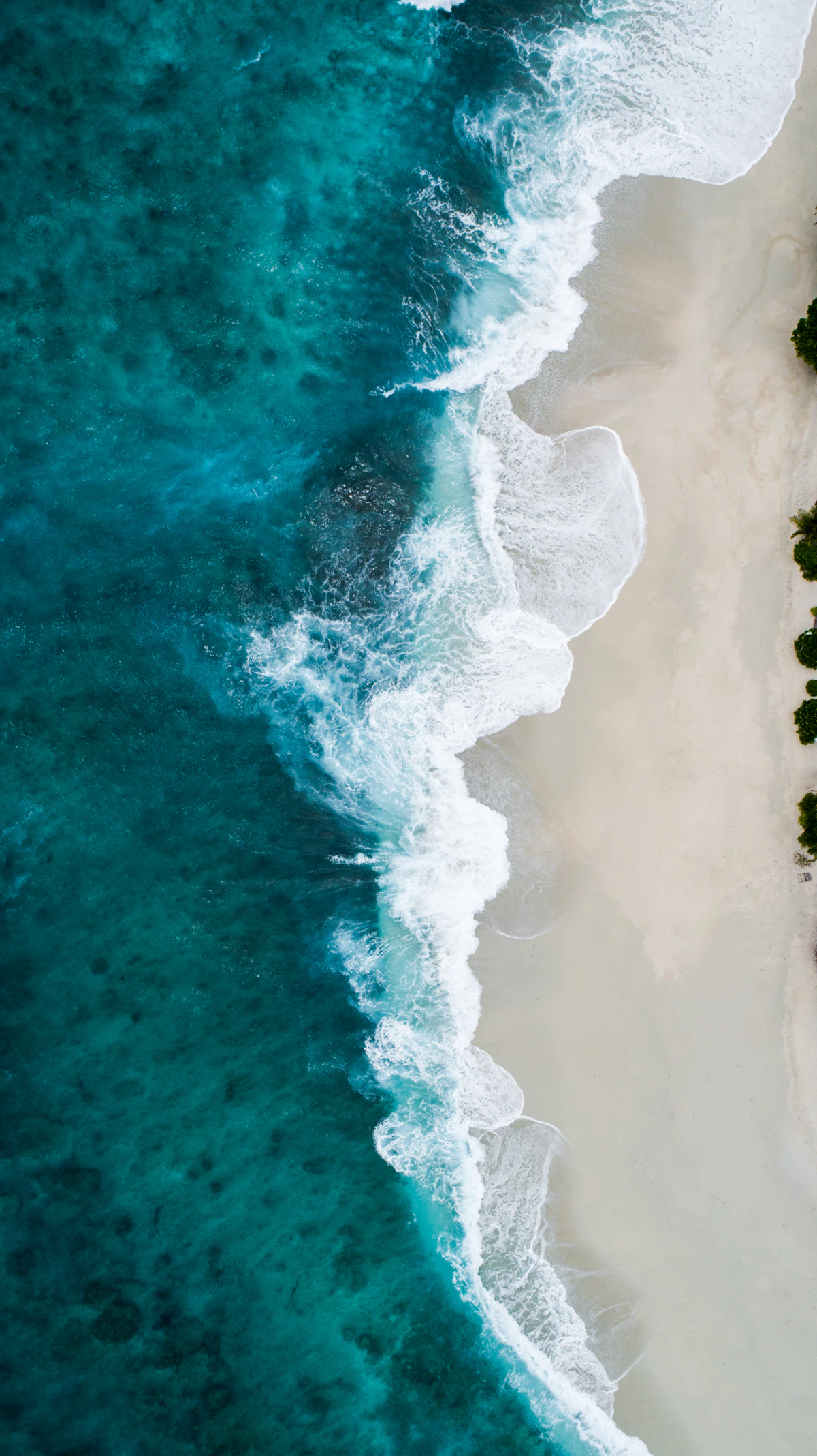
I grew up inland, in Kalahandi, far from the Odishan coast. The ocean was not part of my childhood in any direct sense. But the history of this coast was. You cannot grow up in Odisha and be unaware that this land had a different relationship with the world than what the present would suggest. The question is why that relationship changed, and whether the geography that made it possible the first time might be relevant again.
Around 2,000 years ago, roughly the first and second centuries of the common era, Kalinga was one of the most consequential maritime powers in Asia. Ships from this coast carried cotton textiles, iron products, and finished goods across the Bay of Bengal and into the Indian Ocean trade network that connected South Asia to Southeast Asia, the Persian Gulf, and the eastern coast of Africa.
The ports that served this trade were on the same stretch of coastline where Paradip and Gopalpur stand today. The rivers that fed those ports, the Mahanadi, the Rushikulya, are the same rivers. The coast that gave Kalingan merchants their access to the sea has not moved.
What has changed is almost everything else.
Why Kalinga mattered
The eastern coast of India occupies a structural position in the Indian Ocean geography that is easy to underestimate if you look at a contemporary map. But in the premodern world, before the Suez Canal, before containerized shipping, before the trade routes of the western Indian Ocean became dominant, the Bay of Bengal was among the most active commercial waterways on earth.
Southeast Asia was the node where Chinese silk and spices moved westward, and where Indian textiles and metalwork moved eastward. The trade required a transit point on the eastern Indian coast. Kalinga was that point.
The kingdom also had the productive hinterland to supply the trade. The Deccan plateau, accessible from the Odisha coast through the river systems, produced iron and cotton. Artisans in the interior produced finished goods that commanded value in the markets of Southeast Asia. The ships left the Odishan coast carrying things people actually wanted, not just raw material.
Kalingan merchants did not just participate in this network, they extended it. Historical and archaeological evidence traces Kalingan settlements and cultural influence across Sri Lanka, Burma, Cambodia, Thailand, and the Indonesian archipelago. The Balinese Hindu tradition has roots in this connection. The Buddhist architecture of Southeast Asia carried Odishan influence. Kalinga was not a peripheral participant in the Asian world of two millennia ago. It was a central one.
The transformation and what caused it
This story ends, or rather changes, for reasons that are worth understanding.
The conquest of Kalinga by Ashoka in the third century BCE, one of the most violent military campaigns in ancient Indian history, and the one that famously converted him to Buddhism, disrupted the political structures that had organized the kingdom. The integration of Kalinga into the Mauryan empire changed the terms on which the maritime economy operated.
Later shifts in trade routes, as the Arab-dominated western Indian Ocean trade grew and as the Portuguese arrival in the early sixteenth century reorganized maritime commerce entirely, reduced the relative importance of the Bay of Bengal routes. Colonialism further restructured Indian Ocean trade in ways that systematically marginalized the eastern coast.
None of these changes were inevitable. None of them erased the geographic position that had made Kalinga significant in the first place.
The geography that remains
What strikes me about this history is the stability of the underlying conditions.
The Odisha coast still sits between the Indian subcontinent and Southeast Asia. The Bay of Bengal is still one of the most heavily trafficked waters in the world, today for containerized goods rather than ancient trade commodities, but the logic of position is the same. Paradip is now one of the largest ports in India by cargo volume. The rivers are still there.
The potential Odisha has never fully claimed is not a new observation. What is less commonly understood is how old the underlying case actually is. This is not a state that is trying to become something it has never been. It is a state that was something substantial, commercially, culturally, geographically, and has not yet recovered the ambition that history suggests is possible.
What Kalinga knew that we are relearning
Kalinga's maritime success was not accidental. It was built on a clear understanding of position, knowing where you sit in a larger network and organizing your economy around that position rather than ignoring it.
The merchants of Kalingan ports understood that they were a node between India's productive hinterland and the markets of the east. They organized production, infrastructure, and commercial relationships around that insight.
Odisha's development conversation today rarely starts from geography. It starts from sectors, from subsidies, from comparisons to other Indian states. The deeper question, what does it mean to sit on this coast, between these rivers, at this position in the Asian economic geography, does not get asked often enough.
The answer 2,000 years ago produced something remarkable. The question deserves to be asked again.
The geography has not changed. The question is whether we will use it.
Odisha is not a state that is trying to become something it has never been. It is a state that was something substantial - commercially, culturally, geographically - and has not yet recovered the ambition that history suggests is possible.
See also: Paradip: The Port That Odisha Has Not Yet Figured Out How to Use, Why Odisha Matters, Beyond GDP: What a Developed Odisha Must Be Answerable For, Salt, Steel, and Silicon
Sources
Romila Thapar: A History of India, Volume 1 (Penguin Classics)
R.C. Majumdar: Ancient Indian Colonisation in South-East Asia (Baroda University)
World Bank: Bay of Bengal Connectivity and Trade: Regional Economic Integration
Frequently Asked Questions
What was Kalinga's maritime position in the ancient Indian Ocean world and why did it matter?
Around the first and second centuries CE, Kalinga was one of the most consequential maritime powers in Asia. Ships from the Odishan coast carried cotton textiles, iron products, and finished goods across the Bay of Bengal into the Indian Ocean trade network connecting South Asia to Southeast Asia, the Persian Gulf, and eastern Africa. The ports that served this trade were on the same stretch of coastline where Paradip and Gopalpur stand today. Kalinga's significance was geographic: it occupied the structural position where Indian productive hinterland, Deccan iron, cotton, finished goods, met the Bay of Bengal trade routes connecting Indian supply to Southeast Asian and Chinese demand. Kalingan merchants didn't just participate in the network; they extended it, with cultural and commercial influence traceable across Sri Lanka, Burma, Cambodia, Thailand, and the Indonesian archipelago. The Balinese Hindu tradition carries roots from this connection.
What changed Kalinga's maritime position and what were the causes?
Multiple sequential disruptions over centuries. Ashoka's conquest of Kalinga in the third century BCE, one of ancient India's most violent campaigns, disrupted the political structures that had organized the kingdom's maritime economy. Integration into the Mauryan empire changed the terms on which the trade operated. Later, the growth of Arab-dominated western Indian Ocean trade and the shift in major trade route significance reduced the Bay of Bengal's relative importance. The Portuguese arrival in the early sixteenth century reorganized maritime commerce entirely, favouring western Indian ports and the routes they commanded. Colonial restructuring systematically marginalized the eastern coast as trade flows were reorganized around the priorities of European commercial powers. None of these changes erased the geographic position that had made Kalinga significant. The position remains. The political and commercial organization around it has not been rebuilt.
What does Kalinga's maritime history mean for how Odisha should think about its economic position today?
The Bay of Bengal is still one of the most heavily trafficked waters in the world, for containerized goods rather than ancient trade commodities, but the logic of geographic position is unchanged. Paradip is now one of India's largest ports by cargo volume. The rivers are the same. The distance relationships between this coast, Southeast Asia, and the wider Indo-Pacific economy are the same. What Kalinga demonstrated was that this position, organized around intelligently, produces something substantial: not peripheral participation in the Asian economic network but central participation. Odisha's development conversation today rarely starts from geography, it starts from sectors, subsidies, comparisons to other Indian states. The deeper question, what does it mean to sit on this coast at this position in the Asian economic geography, deserves to be asked. The answer two thousand years ago produced something remarkable.
Did this land? Push back? Add something I missed?
Reply to Manas →Continue Reading
Related writing
 Odisha
Paradip: The Port Odisha Has Not Captured
Paradip Port is India's largest port by cargo volume, handling over 150 million metric tonnes annually. It sits on Odisha's coastline, routing the state's mineral wealth to the world. And yet Odisha remains one of India's least economically developed states. That gap between what Paradip handles and what Odisha captures is the central strategic question of Odisha's economic future.
 Odisha
Rain, Debt, and Distance
More than 150 years after Odisha's worst famine reshaped who owned the land, over 200,000 people still leave the state's driest districts every year, chasing work the rain still won't guarantee.
 Odisha
Salt, Steel, and Silicon
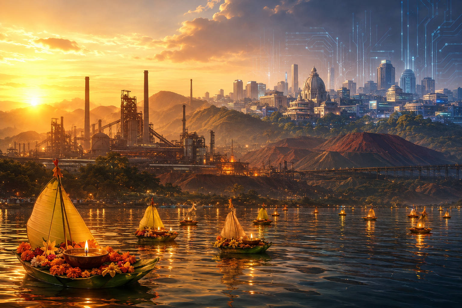
Three ages. Three resources. One coast, one mountain range, one generation. Odisha has had what the world needed every time the world changed what it needed. The first two ages were defined by what the land contained. The third will be defined by what the people decide.